Citizen Flood Observers
The Flood Observation Project yielded valuable information about the 2022 and 2017 floods
We pulled together Messenger exchanges and other data that suggest the peak at The Channon was about 3am on 28/2/22. On that morning, community members noticed very large surges in Tuntable and Terania creeks above The Channon (we lack information on Rocky Creek). At one location 4.5km north of the village, a resident on Terania Creek observed the flood debris extent at 7.30am – the water had receded. At approximately 9am she saw the creek surge to the same level. At the junction of Terania and Rocky Creeks, the Nicholsons also observed a peak at about 9am, and a lesser surge at approximately 12.30pm. Near Keerrong Bridge Road 4.5km south of The Channon, residents say it stopped rising about 3am.
We need to continue building knowledge of how volumes of rain translate to flood on the ground. This will help the SES give flood warnings to The Channon and Keerrong valley – something they have not done before.
From now on, we’re asking everyone to help with this.
A good way to do this is to ‘adopt’ a structure that gives a good indication of flood level – this could be a gate, pole, or big tree. This becomes your benchmarking spot. If you take several photos of it during a major flood, these will show flood height at different times. In this way we’ll build information for the height of big floods, which can be marked on the structure. Community creek sentinels are doing this at Tuntable Falls, Terania and on Tuntable Creek.
If you are keen to help with this kind of catchment data please contact
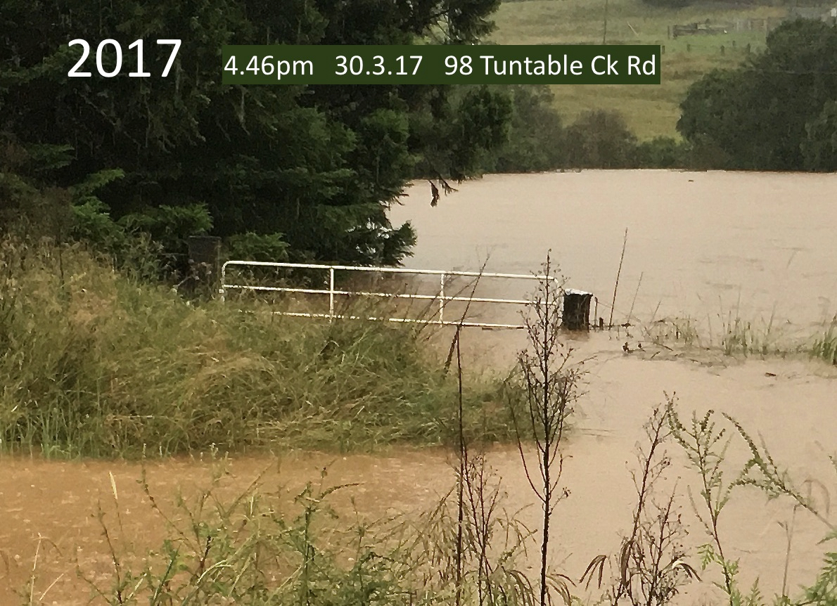
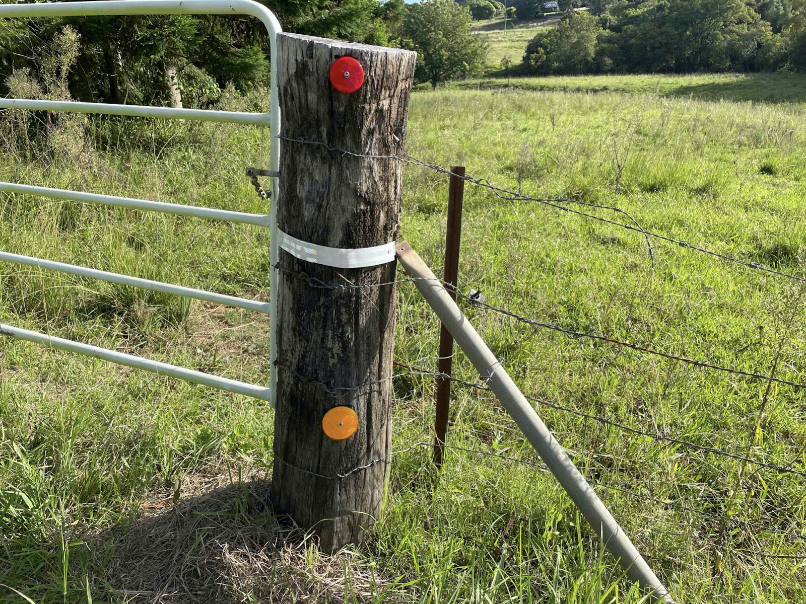
The photo below was taken at the peak of the 2017 flood. This gate is now marked with a reflective band for 2017 (with reflectors 350mm above and below).


